Remote Pan Tilt Positioner
MHNV MH-PTZ16 Remote Pan Tilt Positioner – Professional Payload Platform for Multi-Sensor Surveillance and Border Observation Systems
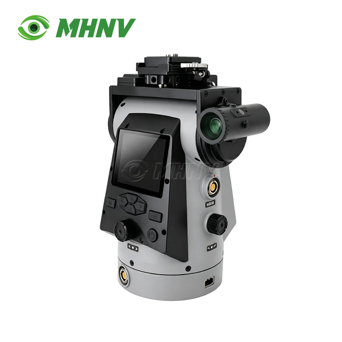
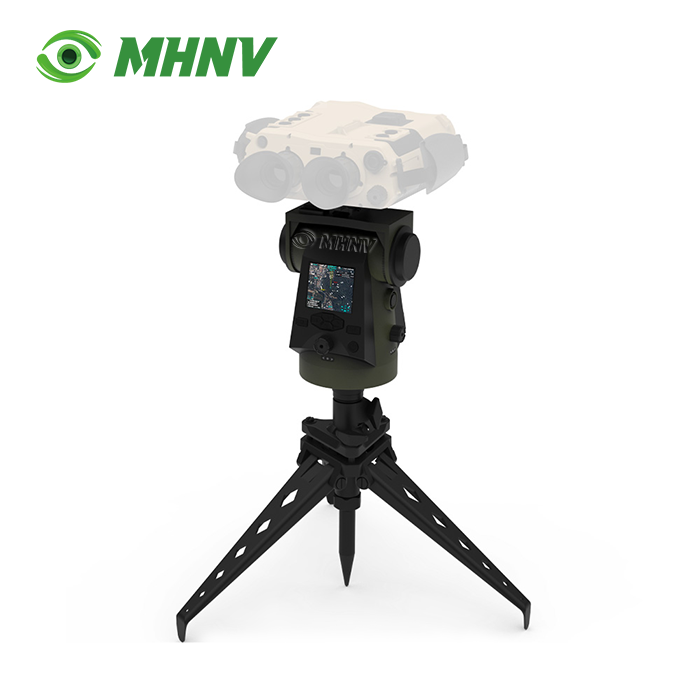
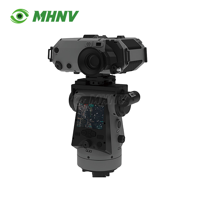
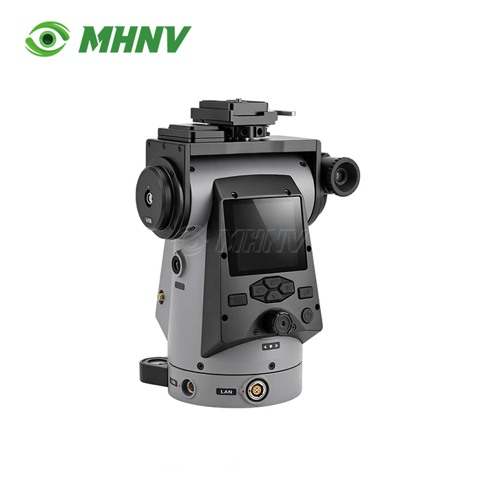
Modern surveillance installations require precision-pointing systems to support a range of observation technologies for extended-area scanning activities. The Remote Pan Tilt Positioner has evolved from simple manual mounts into integrated positioning platforms which combine mechanical accuracy, self-location capabilities and target coordinate computation. MHNV® is providing this evolution with the MH-PTZ16: a 4 kg universal payload platform supporting thermal binoculars, nite vision cameras, day observation devices and fusion systems, with sub-mil pointing accuracy (≤0.02°), continuous 360° rotation, GPS + digital compass self-positioning, multi-coordinate-system output (WGS84 / CGCS2000 / SK42), and a full remote-operation architecture including RTSP video streaming. The platform, operating at -40°C to +60°C, has an average power consumption of 8.4 W and comes in an IP67-sealed enclosure, suitable for static deployment on long-term missions in surveillance, coastal watch, animal survey and border observation.

Universal Payload Architecture for Multi-Sensor Observation
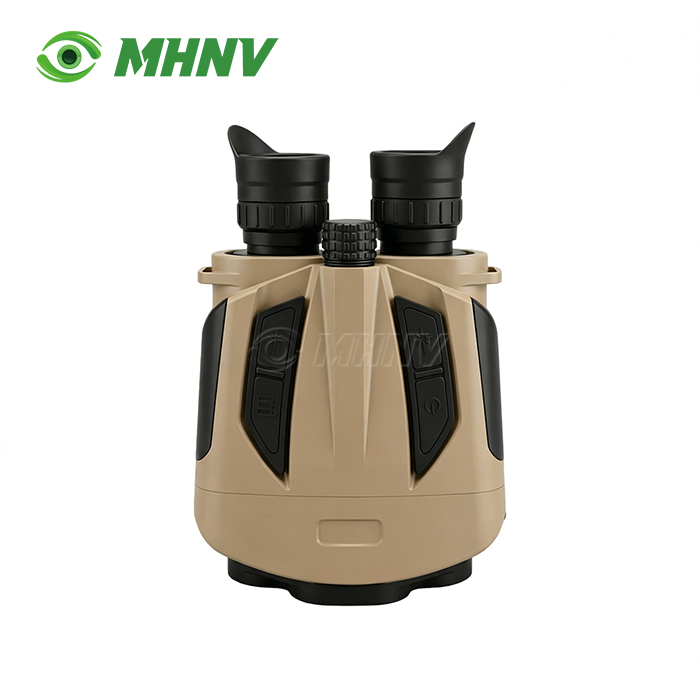
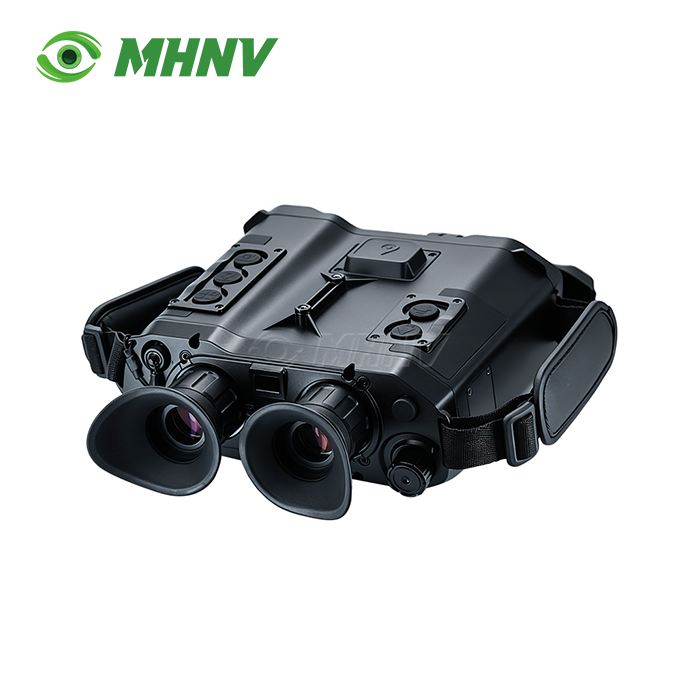
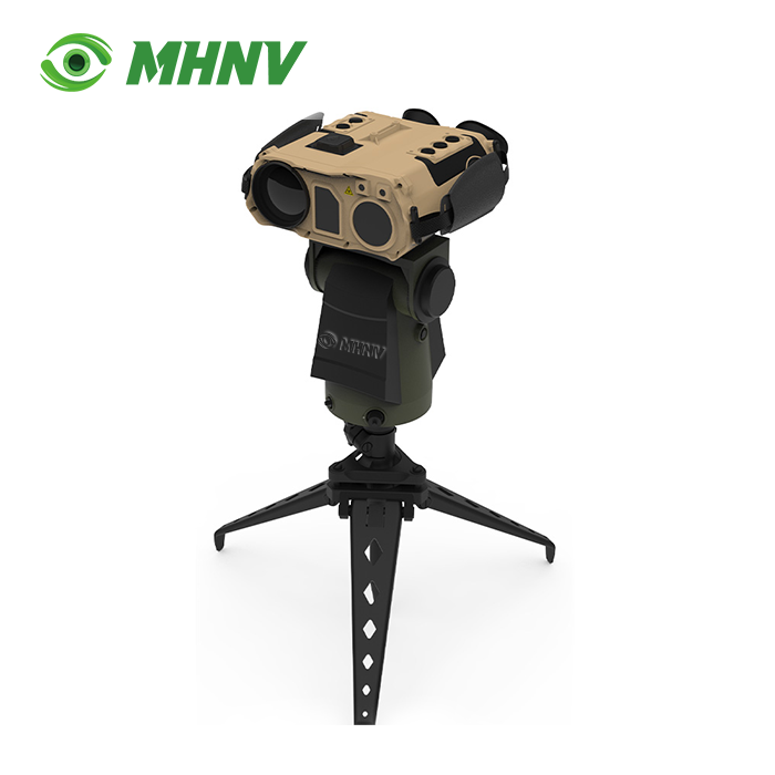
The MH-PTZ16 may accommodate any thermal binocular, low-light camera, day surveillance unit or multi-sensor fusion device under 4 kg with a standardised mounting interface. Organisations that have mixed observation fleets standardise on one PTZ platform, rather than purchasing multiple mounts for each family of devices. A single inventory of spare parts supports the whole observation fleet. Training is focused on one platform, not many mounting systems. Whatever thermal binocular you install today, add a nite vision camera next quarter or incorporate a fusion sensor next year, the same product takes all payloads up to 4 kg with no tooling changes or firmware updates.
Technical Specifications
| Parameter | Value |
|---|---|
| Model | MHNV MH-PTZ16 |
| Payload Capacity | ≥4 kg |
| Rotation (Azimuth) | Continuous 360° |
| Pitch Range | −45° to +45° |
| Rotation Speed | 0.006°/sec to 30°/sec |
| Position Accuracy | ≤0.02° (0.3 mil) |
| Repeatability | ≤0.06° (1 mil) |
| Display | 2.95" color, 1200×1080 pixels |
| Storage | 128 GB (standard), 2 TB (optional) |
| Coordinate Systems | WGS84, CGCS2000, SK42 |
| North Reference | Magnetic, True, Grid |
| Video Input | CVBS, HDMI |
| Data Transmission | RTSP over IP |
| Self-Positioning | Multi-mode GNSS + Digital Compass |
| Dimensions | 180×135×220 mm |
| Weight | ≤4 kg |
| IP Rating | IP67 |
| Operating Temperature | −40°C to +60°C |
| Rated Power | 8.4 W |
| Maximum Power | 20 W |
Sub-Mil Position Accuracy for Automated Sector Scanning
0.02° (0.3 mil) position precision and 0.06° (1 mil) repeatability, enabling automated observation procedures. The operators establish several sectors beforehand, plan periodic sweeps over a given coverage area and return to exact pointing coordinates for time-lapse change detection across multiple sessions. Manual pan-tilt heads without precision encoders wander 5 to 15 mil per cycle and are unsuitable for automated sector scanning or repetitive target return. The MH-PTZ16 reduces operator intensive manual repointing and helps to assure automated scans provide constant coverage during each cycle, increasing detection probability and lowering operator workload for long length missions.
Multi-Coordinate-System Output for International Deployment
The platform allows selection of magnetic, true and grid north references via the controller and offers target grids in WGS84, CGCS2000 and SK42 coordinate systems. This versatility allows the Remote Pan Tilt Positioner to conform to the mapping convention already in use by any responding unit, dispatch center or command post. Fleets operating across national or organisational boundaries avoid operator-side coordinate conversion issues that affect single-standard positioners. Export deployments can easily integrate into the existing mapping environment of the target country without the need for new firmware or coordinate transformation tables. If you are in Europe, Asia or the Eastern European territories operating with legacy SK42 grids, MH-PTZ16 speaks the local coordinate language.
Continuously Variable Speed for Both Fine Tracking and Fast Slewing
Rotation speed is continually variable from 0.006 degrees/sec (fine tracking) to 30 degrees/sec (rapid slewing). In four decades of speed range you may easily follow a slow going boat at the slowest speed setting or slew to a different sector at the greatest rate using the same joystick or remote command. Fixed-speed positioners demand a trade-off between smoothness of tracking and responsiveness of slewing. The MH-PTZ16 gives both, without mode switching. Operators keep visual lock on sluggish objects during follow operations, and can acquire new targets swiftly as the observation priority changes.

Full Remote Operation Via RTSP Streaming
The platform takes live payload video in CVBS and HDMI inputs, and then broadcasts video and telemetry over RTSP to laptops, ground stations, or command posts at any distance your IP network spans. Position the tripod in an open observation post and control the platform from a sheltered command post several kilometres away. Personnel stay out of weather, hostile line of sight, or restricted access zones while preserving full observation capacity. The 128 GB onboard storage (optional 2 TB) records continuous, evidence-grade video complete with target grid overlay for after-action viewing and forensic analysis.
Integrated Self-Positioning and Target-Grid Computation
The MH-PTZ16 is equipped with multi-frequency GNSS and digital magnetic compass for accurate own-position determination. Along with the precise pointing data, the platform calculates live target grids and shows coordinates on the 2.95" colour screen (1200×1080 pixels). Operators get target location without external survey equipment or manual grid calculation. The integrated self-positioning removes the error sources inherent in separate GPS units installed on the tripod or operator estimated range inputs. Supports evidence-grade documentation standards by reporting exact position of platform and target grid for each observation record.

FAQ
Q: What makes the MHNV MH-PTZ16 suitable for long-duration static observation missions?
A: The MHNV MH-PTZ16 is designed specifically for extended-mission static deployment through its combination of low power consumption (8.4 W rated), IP67 environmental sealing, and −40°C to +60°C operating range, ensuring continuous operation across harsh weather conditions without frequent maintenance intervention. The 128 GB onboard storage (expandable to 2 TB) captures days of evidence-grade video with target grid overlay, while the RTSP streaming capability allows remote monitoring and control, keeping operators out of exposed observation positions during week-long or month-long surveillance operations. This power efficiency and remote-operation architecture dramatically reduce the logistical burden of crew rotation and site access.
Q: How does the multi-coordinate-system capability simplify cross-border or multinational operations?
A: The platform supports WGS84, CGCS2000, and SK42 coordinate systems with selectable magnetic, true, and grid north references, allowing target grid readouts to match the mapping convention of any responding unit or command post without operator-side coordinate conversion steps that introduce errors. When you deploy the product across regions using different national mapping standards, simply select the appropriate coordinate system via the controller, and the platform outputs target locations in the format your partners already use. This eliminates the need for custom firmware builds for each deployment region and accelerates integration into existing command-and-control ecosystems.
Q: Can the MH-PTZ16 support automated sector scanning without constant operator attention?
A: Yes, the ≤0.02° position accuracy and ≤0.06° repeatability enable you to preset multiple observation sectors and schedule automated periodic sweeps of defined coverage areas, with the platform returning to exact pointing coordinates across multiple sessions for time-lapse change detection. Manual pan-tilt heads drift by 5 to 15 mil per cycle and cannot reliably execute automated scans; the MH-PTZ16's precision encoders eliminate this drift, allowing unattended operation during overnight or weekend periods. Operators review recorded video and target grids afterward, dramatically reducing staffing requirements for extended-area surveillance missions.
Q: What payload devices are compatible with the 4 kg capacity rating?
A: The 4 kg payload capacity accommodates current-generation thermal binoculars, low-light cameras, day surveillance cameras, and multi-sensor fusion devices from MHNV's catalog and third-party manufacturers, provided they include CVBS or HDMI video output and weigh under 4 kg with mounting brackets. Organizations operating mixed fleets of observation devices standardize on one PTZ platform instead of maintaining different mounting systems for each sensor type. The standardized mounting interface accepts payloads without custom adapters or firmware modifications, simplifying spare-parts inventory and reducing training complexity to a single platform architecture.

Contact Us
Ready to upgrade your observation capability with Remote Pan Tilt Positioner? Contact MHNV® at sarah@mh-elec.com for technical specifications, pricing, and customization options tailored to your deployment requirements.
YOU MAY LIKE
.webp "Laser Target Locator Module (LTLM)")