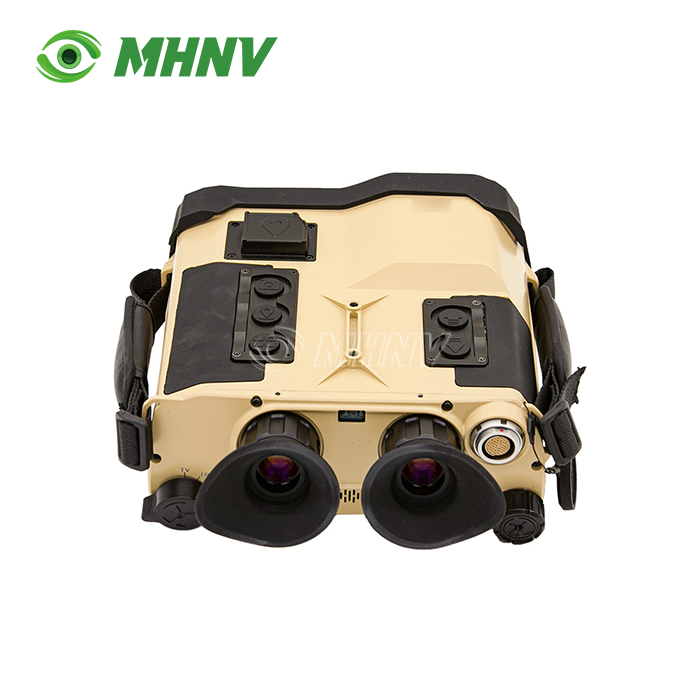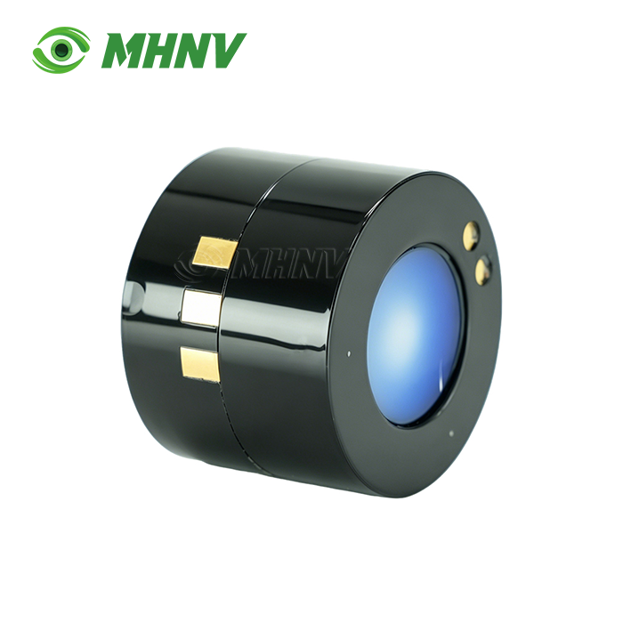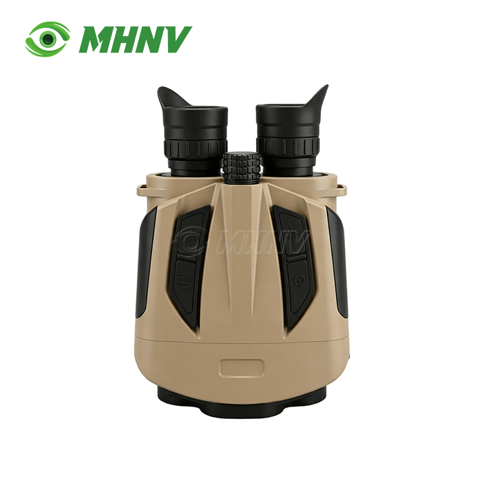
High-Precision 6Km Laser Range Finder Binoculars
High-Precision 6Km Laser Range Finder Binoculars with ±1m Accuracy and Dual-Calibration Compass for Professional Long-Range Measurement
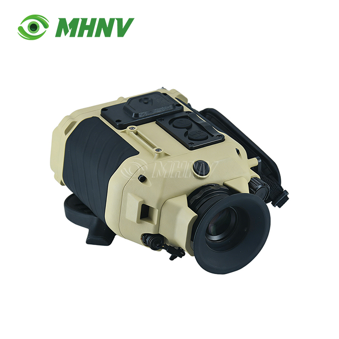
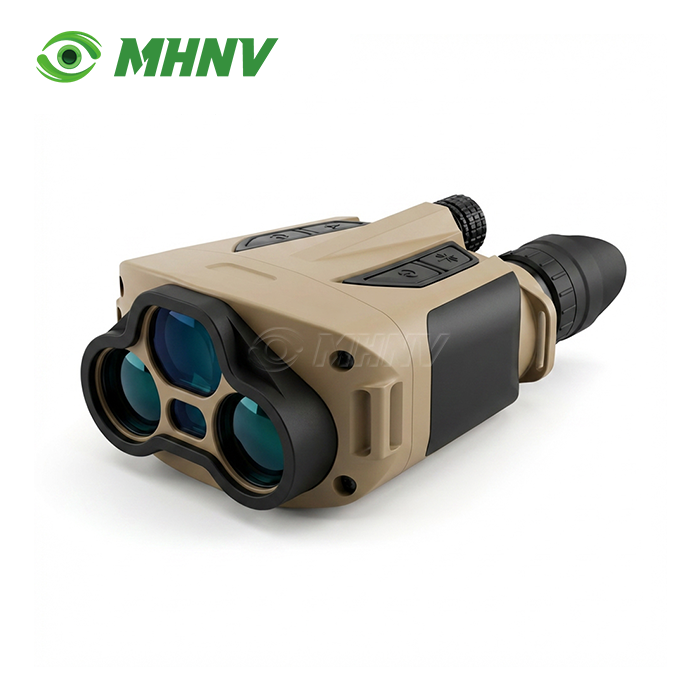
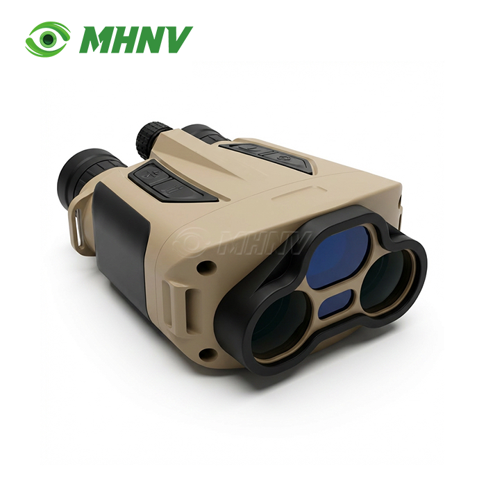
Xi'an MH Electronics And Technology Co., Ltd. delivers enterprise-grade optoelectronic measurement solutions through the MH OL06 High-Precision 6Km Laser Range Finder Binoculars. Built on 12 years of full-stack R&D in laser, optical, and embedded systems, this device achieves ±1m ranging accuracy across a 10m–6,000m envelope using 1535nm eye-safe laser technology. Equipped with dual-calibration electronic compass (gyro + magnetic), 1Hz scan mode, and RS232/TTL serial output via tail-wire interface, the system integrates seamlessly into data-logging environments. Type-C connectivity enables firmware updates, while selectable range gating (10m–20,000m) filters clutter in complex measurement scenarios.

Advanced Pulse Time-of-Flight Technology for Sub-Meter Precision
The products are based on pulse Time-of-Flight (ToF) laser modules with operation wavelength of 1535nm±5n. Also, the eye-safe band is compatible with IEC 60825-1 Class 1 and does not require operator licensing, thus facilitating international regulatory clearance.
At maximum range, you can hit vehicle-sized targets (2.3×2.3m) with ±1m precision. For major structures – buildings, bridges, terrain features – the measurement envelope is over 10,000 meters. Detection at only 10 meters minimum gives you the ability to investigate at close range without having to switch modes.
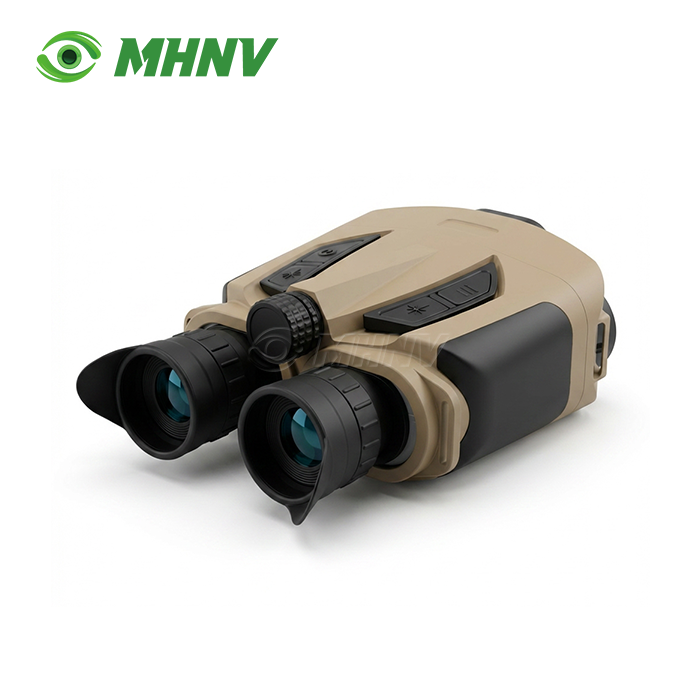
Four reticle styles and 16 brightness settings guarantee excellent target acquisition in dawn fog, midday glare and dusk. Mixed-vision teams do not need supplementary optics because each eyepiece has its own diopter settings.
Multi-Mode Operation Designed for Dynamic Field Scenarios
You need more than a single-shot readout when targets move, terrain changes, or foreground objects block your view. They include five measurement modes optimised for the complexity of real-world operation.
Scan Mode refreshes at 1Hz, providing constant distance updates while you track moving cars, drones or wildlife across open country. Combined with time-stamped serial data output, speed estimation is immediate.
A-B Mode offers automatic calculation of both horizontal and vertical distance between two waypoints. You measure once, press twice, and get inter-point separation w/o manual trig.
Height Mode measures the difference in height between remote places. Height Mode is useful for topographic surveys, powerline sag studies and structural clearance inspections where physical access is not available.
Range Gating applies minimum and maximum distance windows (10/50/100/200/300/400/500m minimum; 1,000/2,000/4,000/6,000/8,000/10,000/20,000m maximum) to eliminate undesired returns. Digital scrubbing erases foreground clutter like fences, trees, safety nets, focusing your attention on the essential target behind.
Dual-Calibration Electronic Compass for Azimuth-Locked Geospatial Data
Unlike consumer rangefinders that use magnetometer-only compasses, this device is gyro + magnetic dual calibrated. Magnetic anomalies can be created by surrounding steel structures, vehicle chassis, or underlying geology, and gyroscopic sensors adjust for these effects.
Real-time azimuth, pitch and roll data stream via the RS232 /TTL tail-wire interface directly into GIS software, UAV navigation systems or industrial PLCs. When combined with distance and angle data you create sets of 3D coordinates without post-processing.
Fieldwork becomes faster. Data gets cleaner. Your project schedule becomes shorter.
RS232/TTL Serial Output and Type-C Interface for System Integration
Today's procedures for surveying, inspection and monitoring require machine-readable data. The tail-wire RS232/TTL interface generates distance, azimuth, pitch and timestamp in a typical serial frame – baud rate is programmable, frame format is changeable.
Connect items directly with rugged tablets, industrial data loggers or custom telemetry modules – without middleware. For OEM customers we provide protocol documentation and sample code to parse in their firmware.
The Type-C connector provides firmware upgrades and file transfers, which enable long-term feature growth without replacing hardware. Production batches are backward compatible.
IP67 Ruggedization and Extreme-Temperature Reliability
Field instruments are subjected to dust, rain, collision and thermal shocks. The unit is IP67 rated, meaning it can be submerged in 1 metre of water for 30 minutes. Nitrogen purging avoids interior fogging during abrupt temperature changes.
Operating temperature range -20 °C to +50 °C Storage tolerance: -40°C to +60°C, ship through arctic and desert conditions without recalibration.
The magnesium alloy chassis absorbs vibration and distributes heat stress uniformly, keeping optical alignment intact through thousands of duty cycles. Standard ¼” tripod thread can be securely attached to survey tripods, vehicle dashboards, and observation towers.
Technical Specifications
| Parameter | Specification |
|---|---|
| Model | MH OL06 |
| Laser Wavelength | 1535nm ± 5nm (Eye-Safe Class 1, IEC 60825-1) |
| Max Range (Vehicle 2.3×2.3m) | ≥ 6,000 m |
| Max Range (Large Structure) | ≥ 10,000 m |
| Min Range | 10 m |
| Measurement Accuracy | ± 1 m |
| Range Gating (Min) | 10 / 50 / 100 / 200 / 300 / 400 / 500 m |
| Range Gating (Max) | 1,000 / 2,000 / 4,000 / 6,000 / 8,000 / 10,000 / 20,000 m |
| Scan Mode Refresh Rate | ~1 Hz |
| Reticle Shapes | 4 Types (Cross 1–4) |
| Reticle Brightness Levels | 16 (0–15) |
| Electronic Compass | Gyro + Magnetic Dual Calibration |
| Power Supply | 2× CR123A Lithium Batteries |
| Data Interface | Type-C + Tail-wire (RS232 / TTL) |
| Tripod Mount | Standard ¼" Thread |
| Working Temperature | -20°C to +50°C |
| Storage Temperature | -40°C to +60°C |
| Diopter Adjustment | Both Eyes, Independent |
| Interpupillary Adjustment | Yes |
| Protection Level | IP67 |
Real-World Applications Across Industrial and Survey Sectors
Infrastructure Inspection: Power grid experts measure high-voltage line sag and pylon-to-pylon distance in mountainous terrain. No more helicopter based photogrammetry or climbing by hand with the High-Precision 6Km Laser Range Finder Binoculars.
Sea Search and Rescue: Coast guard units locate the coordinates of vessels in high-glare seas. The 1Hz scan mode searches open water for floating debris or troubled craft, cutting through salt spray using multi-pulse DSP filtering.
Forestry and Wildlife Conservation: Researchers do topographic mapping over huge valleys without disrupting ecosystems. GIS-ready serial data streams straight into spatial analytic software, accelerating habitat modelling and migration investigations.
Construction Site Layout: Survey teams set control points over multi-kilometer areas. Range gating removes temporary fences and scaffolding, gating measurements to foundation markers and structural reference points.

FAQ
Q: How does the device perform in atmospheric haze at ranges more than 6km?
A: The device uses multi-pulse integration and powerful DSP filtering algorithms to separate real target returns from backscatter noise, preserving ±1m accuracy even under moderate visibility circumstances, when atmospheric haze reduces signal return intensity. The maximum range gate setting is reduced to increase the signal-to-noise ratio and measurement confidence in severe fog for optimum performance.
Q: Is the wavelength of 1535nm safe for long term observation tasks?
A: Yes, the 1535nm wavelength is absorbed by the cornea and anterior segment of the human eye before reaching the retina and is classified as IEC 60825-1 Class 1. Protective eyewear is not required for operators, and the device meets international regulations for exporting civilian products without end-user certificates relating to laser safety ratings higher than Class 1.
Q: Can I use the rangefinder through glass windows or automobile windscreens?
A: While the laser can pierce glass surfaces, at each interaction there is partial reflection which degrades signal strength and can cause refraction errors that degrade the ±1m accuracy criterion at long range. Direct targeting with line-of-sight and no transparent barriers in between is highly recommended for high-precision measurements at distances close to 6km to preserve the integrity of the measurement.
Q: Why is low beam divergence critical for 6km ranging performance?
A: Beam divergence below 0.5mrad ensures the laser spot diameter remains small enough at 6,000 meters to strike a discrete target rather than averaging distance across multiple background objects. Wider divergence would cause the laser footprint to expand beyond vehicle dimensions, returning ambiguous distance readings that blend foreground and background elements into a single averaged measurement.
Q: How frequently should the dual-calibration electronic compass be recalibrated in the field?
A: Recalibration is recommended when relocating to a new geographic region with different magnetic declination values, after exposure to strong electromagnetic fields such as industrial transformers or radio transmission equipment, or following mechanical shock events during transport. Routine field use under normal conditions typically requires calibration verification every 30 days to maintain azimuth accuracy within specification.

Contact MHNV® for Custom OEM Integration and Technical Support
Reach our solutions team at sarah@mh-elec.com to discuss your High-Precision 6Km Laser Range Finder Binoculars application requirements and request technical documentation.
YOU MAY LIKE
.webp "Laser Target Locator Module (LTLM)")