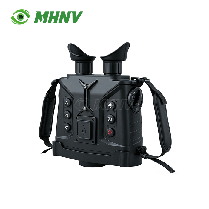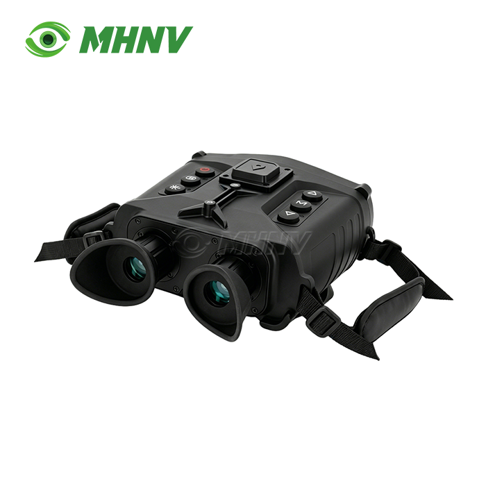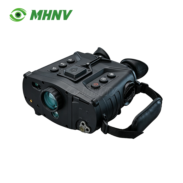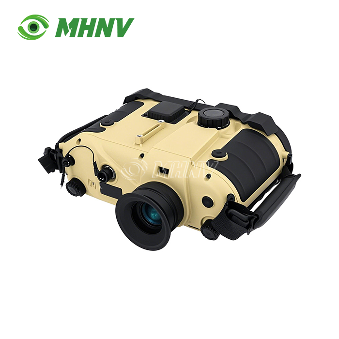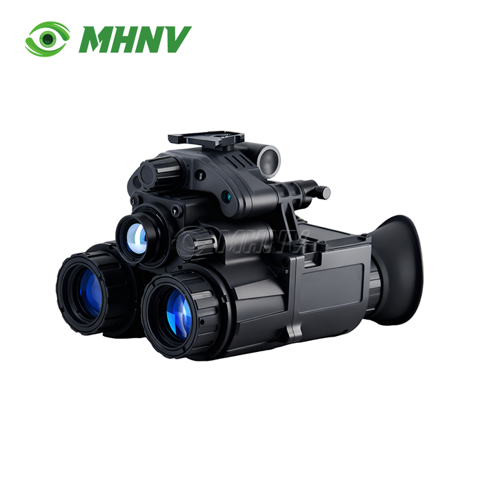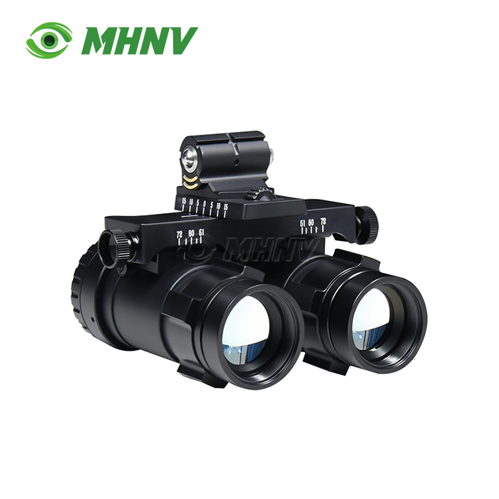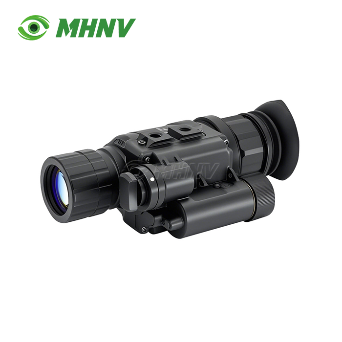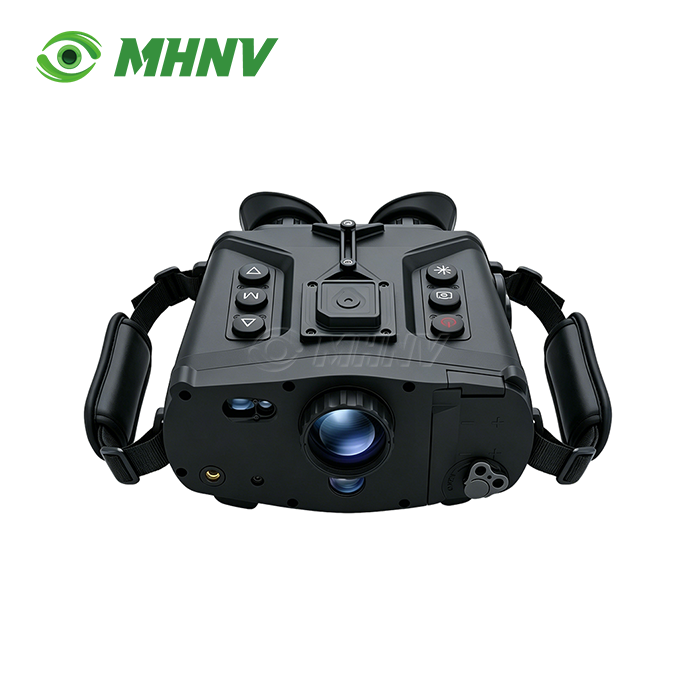
Reconnaissance And Anti-Sniper System
Reconnaissance And Anti-Sniper System | Long-Range Cat-Eye Detection Platform with Integrated Positioning and Wireless Transmission
MHNV®'s Reconnaissance And Anti-Sniper System offers enterprise level optical threat detection, leveraging active laser cat-eye scanning technology. The professional level platform is capable of detecting the retroreflective signatures of optical devices at distances in excess of 1,500 meters under clear conditions, and the integrated GPS/BeiDou positioning and electronic compass delivers target coordinates with <0.5° angular accuracy and ≤50m positioning accuracy. Two bands of visible and near-infrared imaging channels, 1×-8× continuous electronic zoom, Binocular OLED display, Real-time WiFi video streaming, IP66-rated body, <3.0kg, -20°C to +55°C operating temperature.

How Cat-Eye Detection Technology Works in Optical Threat Identification
The cat-eye phenomenon is identified by the physics of retro-reflection: when an active laser beam hits optical lenses, objective components or the front glass of a riflescope, it is retro-reflected toward the direction of the laser source with a high intensity. The gadget employs eye safe laser pulses to scan field areas and collect these retroreflected signals to locate hidden optical observation equipment.
In good visibility, the device can detect lenses larger than 40 mm in diameter from 100 meters to more than 1,500 meters. When a retroreflective signature is detected, the integrated rangefinder measures the distance to the target from 50m to 1,500m with ±5m accuracy and ≥95% hit probability.
Key Technical Specifications
| Parameter | Value |
|---|---|
| Detection Range | 100m – ≥1,500m (clear weather, lens Ø >40mm) |
| Laser Rangefinder | 50m – 1,500m, accuracy ±5m, hit rate ≥95% |
| Electronic Zoom | 1.0× – 8.0× continuous |
| Positioning System | GPS + BeiDou + electronic compass |
| Angular Accuracy | <0.5° |
| Target Positioning Error | ≤50m |
| Display | Dual binocular OLED viewfinder |
| Observation Modes | Full color / Defogging, switch time <1s |
| Video Recording | ≥4 hours onboard storage |
| Image Storage | ≥10,000 BMP format photos |
| Data Interface | WiFi real-time transmission + USB export |
| Protection Rating | IP66 (dustproof and waterproof) |
| Operating Temperature | −20°C to +55°C |
| Dimensions | ≤225×180×90 mm |
| Weight | <3.0 kg |
| Power Supply | Standard 18650 lithium battery |
Eight Core Advantages of MHNV® Reconnaissance And Anti-Sniper System
1. Cat-Eye Detection Range Exceeds 1,500 Meters
Active laser scanning can detect retroreflective signatures from optical lenses > 40mm diameter from 100m to over 1,500m. The larger detection envelope gives advance warning of covert surveillance placements.
2. ±5m Accurate Eye-Safe Laser Rangefinder
Integrated laser rangefinder: 50m – 1,500m with uniform ±5m precision and ≥95% hit rate. Integrated range eliminates the need for separate distance-measurement equipment and speeds up coordinate calculation.
3. Triple-Redundant Positioning: GPS + BeiDou + Electronic Compass
Multi-constellation GNSS + electronic compass Real-time self-location and target coordinate output. The angular precision <0.5° and target positioning ≤50m provide dependable geospatial data in a wide range of settings.
4. 1× to 8× Continuous Electronic Zoom
Wide range electronic magnification is continuously variable from broad area scanning at 1× to close-in target recognition at 8× without mechanical lens change. Manual long-focal zoom lens for quick survey and comprehensive observation.
5. Instant Mode Switch: Full Colour and Defogging Within 1 Second
Two observation modes are adapted to fast varying visibility circumstances. Full colour mode renders natural scenes Fog-penetration mode boosts contrast in low-visibility environments – switchable in under 1 second
6. Real-Time WiFi Video Transmission and Onboard Recording
Built-in WiFi. Streams live video to outside devices and saves to internal storage simultaneously. Remote monitoring and data exchange without the need of additional transmission or interruption of workflow.
7. Long-term Storage 4 Hour Video 10,000 BMP Images
Onboard memory can hold ≥4 hours of video documentation and ≥10,000 still photos in BMP format. USB data export for quick offload to external storage or analytical work stations.
8. IP66 Protection in a Portable 3.0kg Body
Ruggedised build, IP66 dustproof and water proof. With an operating range of 20°C to +55°C and compact dimensions of 22518090mm, it may be operated handed or on a tripod in a variety of field circumstances.

Dual-Band Imaging and All-Weather Observation
The Reconnaissance And Anti-Sniper System continues to detect targets under various lighting and atmospheric circumstances using visible-light and near-infrared channels. Imaging with visible light gives natural colour rendition during day time operations while near-infrared capability extends observation into low-light conditions.
The full-color mode provides high-contrast scene detail in good light situations. When visibility is impaired by fog, haze, or smoke, defogging mode boosts contrast and penetrates atmospheric obscurants, and mode change takes less than one second without pausing target tracking.
The dual binocular OLED display allows for pleasant long observation sessions. Ergonomic eyeglass spacing and high-contrast OLED displays prevent operator fatigue during long surveillance duties.
Integrated Navigation and Target Coordinate Output
The GPS and Beidou satellite positioning and the electronic compass provide the real-time information about self-location and the calculation of the target coordinates. Angular measurement precision <0.5° and target location error ≤50m enable accurate coordinate hand-off to command networks or mapping systems.
When the laser rangefinder detects the distance to the target and the compass records the azimuth and elevation, the system automatically calculates the target coordinates and displays them on the OLED screen. The integrated workflow removes the need for manual coordinate conversion, which speeds up response times.
Wireless Connectivity and Data Export Options
Live video is transmitted to smartphones, tablets or distant monitoring stations in real time via built-in WiFi. Operators can share situational awareness with members of their team or the command center without wires or intermediate relay devices.
USB data connector for direct export of recorded video and still photos to external storage media. The BMP image format is compatible with typical analysis applications and archiving systems.
Ruggedized Design for Field Deployment
The IP66-rated casing prevents dust intrusion and water jets from reaching internal optics and electronics. Operating temperature -20 to +55°C for temperate, dry and tropical settings.
It weighs <3.0kg and has the dimensions of 225×180×90mm thus it can be carried by a single operator and does not require a transport case. Uses standard 18650 lithium battery for field refilling and reduced logistics footprint. The equipment can be mounted on ordinary tripods for fixed observation or used handed for fast repositioning.
FAQ
Q: What is a device capable of finding concealed optical devices?
A: The product is an active laser scanning platform perceiving retroreflective signatures emitted by optical lenses, objective elements and observation instruments under illumination by eye-safe laser pulses. This cat-eye effect allows to identify hidden optical devices from 100 meters to more than 1,500 meters depending on lens diameter and atmospheric visibility. The system automatically computes target coordinates by integrating laser rangefinding, GPS/BeiDou positioning and electronic compass data, and supplies the operator with distance, azimuth and geographic location information in a single, integrated display.
Q: How far can I expect to detect the MHNV® product under ordinary field conditions?
A: Under clear sky conditions the system reliably detects optical lenses >40mm in diameter at ranges from 100 meters to over 1500 meters. Detection performance is a function of target lens size, atmospheric transparency, ambient lighting and retroreflective properties of the objective element. Integrated laser rangefinder measurements of confirmed targets from 50m to 1,500m with ±5m precision and ≥95% hit rate, delivering reliable distance data for coordinate calculation across the entire effective detection envelope.
Q: Why is the integration of GPS, BeiDou and electronic compass important to the operating efficiency?
A: Multi-constellation GNSS (GPS + BeiDou) with an electronic compass can provide real-time self-positioning and automatically output target coordinates with angular accuracy <0.5° and target positioning error ≤50m, removing the need for human map reading and coordinate conversion operations. With the laser rangefinder set on a target, the system immediately computes and presents target coordinates, allowing faster reaction times and enabling smooth data transfer to command networks or geographic mapping systems.
Q: Is it possible to shoot video and send live streams simultaneously?
A: Yes - Onboard storage records ≥4 hours of video and ≥10,000 BMP format photographs simultaneously while live video is sent to other devices via built-in WiFi for remote monitoring, team coordination and evidence documentation without interrupting production. A USB data connector allows quick export of recorded files to external storage or analytical work stations following conclusion of the operation.
Q: What are the environmental conditions the product can sustain when deployed in the field?
A: The enclosure is IP66 rated, making it impervious to dust ingress and high pressure water jets. The operating temperature range is -20°C to +55°C, suitable for temperate, desert, tropical and cold weather environments. The ruggedised construction, compact form factor (225×180×90mm) and weight (<3.0kg) permit handheld operation and tripod mounting in a variety of terrains. Using a standard 18650 lithium battery reduces logistics complexity for long duration operations and eases field resupply.

Contact MHNV® for Custom Reconnaissance And Anti-Sniper System Solutions
For technical specifications, volume pricing, or Reconnaissance And Anti-Sniper System project consultation, contact sarah@mh-elec.com today.
YOU MAY LIKE