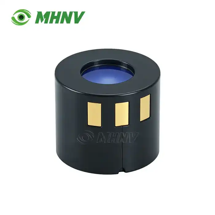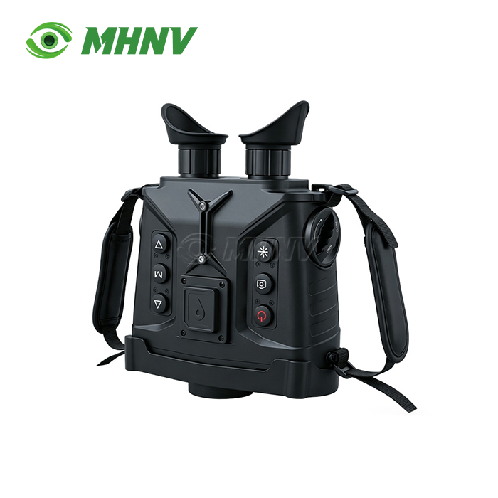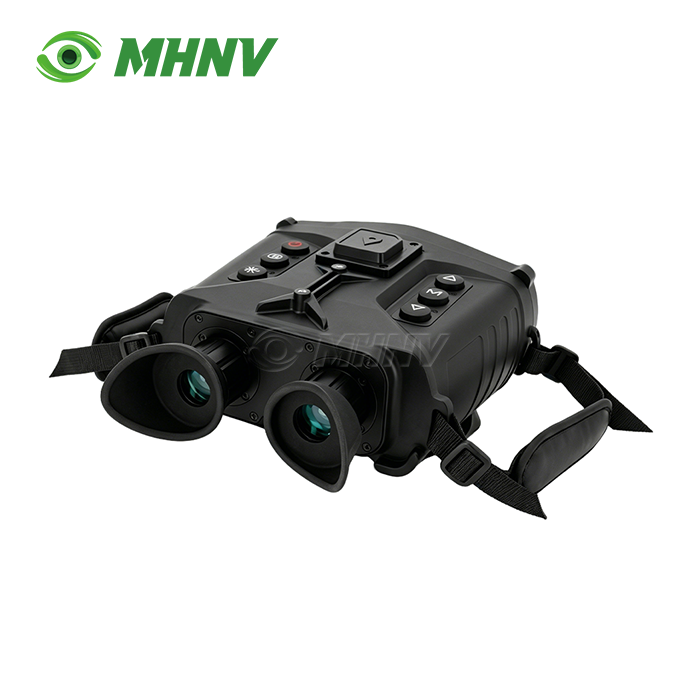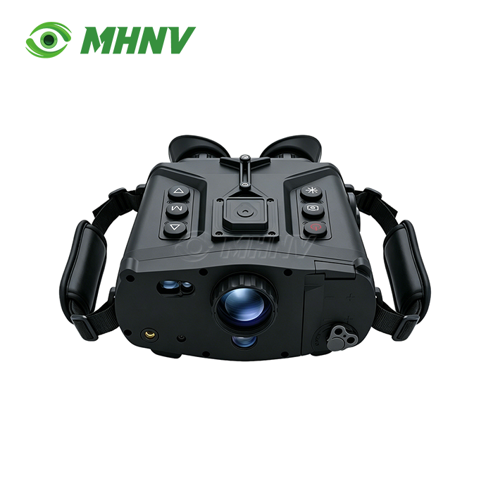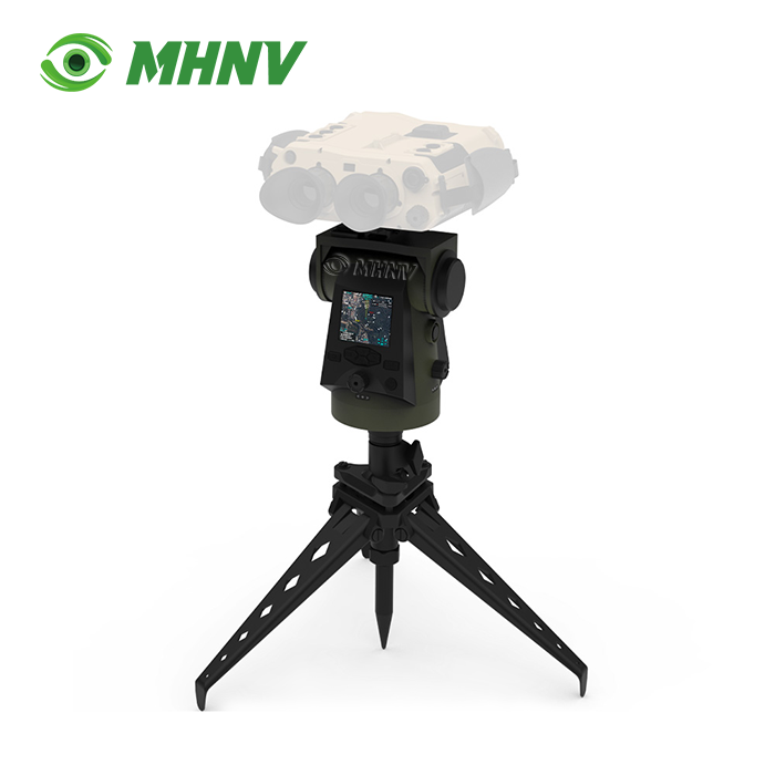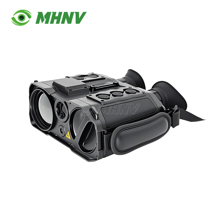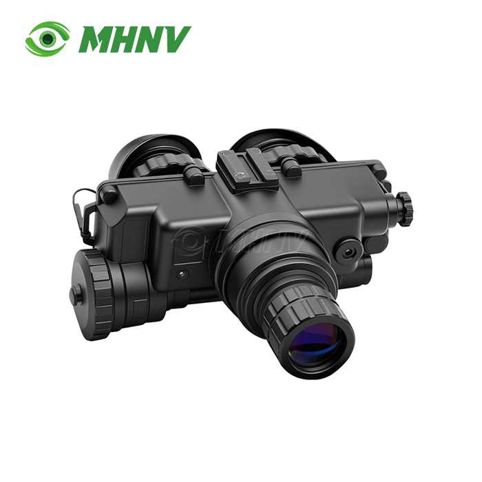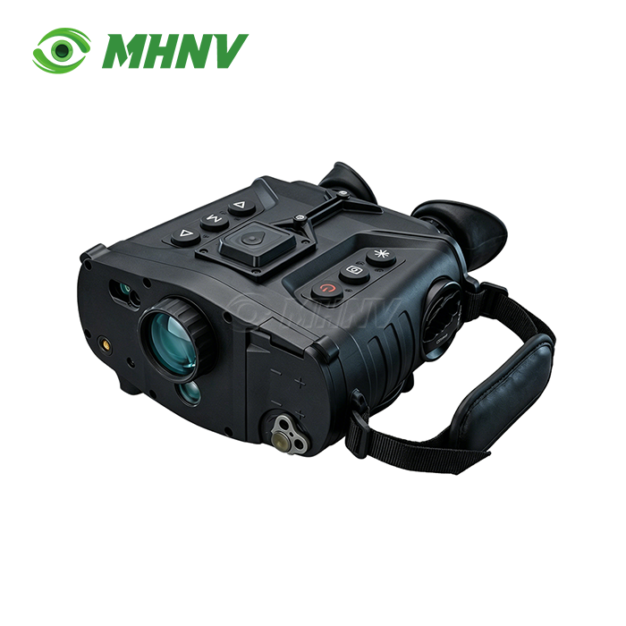
Anti-Sniper System
Advanced Anti-Sniper System with Cat-Eye Detection and GPS Target Positioning | 1500m Range Optical Surveillance Solution
Traditional scanning techniques are not sufficient to provide both accuracy and speed when hidden optical devices are a security concern at long range. MHNV® Anti-Sniper System accomplishes retroreflective lens signature identification from 100m to ≥1500m (clear weather) based on active laser cat-eye effect detection, dual-band imaging and integrated GPS positioning. Developed by Xi’an MH Electronics And Technology Co., Ltd. since 2013, this system offers ±5m laser range, 1× to 8× continuous zoom and IP66 protection in a compact 3.0kg chassis. It has inbuilt storage for 4 hours of video and WiFi transmission, giving real-time target documentation and coordinate output for security teams working in difficult field scenarios.
Dual-Channel Detection Architecture
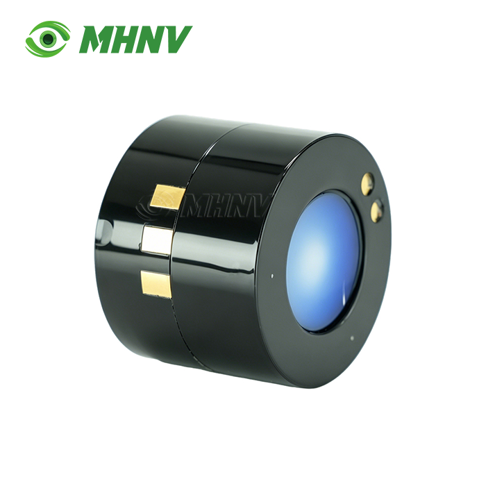
It functions with two independent yet complimentary detecting channels. Active laser scanning is based on the principle of the cat-eye effect, which is the illumination of optical lenses with a diameter >40mm at a distance of 100m to 1500m. At certain angles, laser pulses reflected off the surface of glass or lenses create a retroreflected signal that returns to the sensor, indicating the existence of observation equipment.
Simultaneous passive imaging in visible and near infrared wavelengths is performed. Real-time scene information for wide-area search and close-in recognition is provided by dual binocular OLED screens. Two viewing modes - full colour and defogging - transition in less than 1 second, responding to fog, haze or smoke without disrupting the target monitoring.
Electronic zoom allows continuous magnification from 1.0× to 8.0×. Wide scan at 1× covers huge sectors rapidly, 8× magnification locks onto suspect places for comprehensive confirmation. Electronic zoom is supplemented by a long focal manual zoom to provide a versatile optical solution throughout a range of engagement distances.
Integrated Ranging and Positioning Module
Eye-safe laser rangefinder measures targets from 50m to 1,500m with accuracy better than ±5m and a hit rate ≥95%. Distance data is directly fed to the coordinate calculation engine, therefore there are no handheld meters.
The onboard GPS and BeiDou receivers work in parallel with a digital electronic compass. The system provides real-time self-position and target coordinates with angular accuracy <0.5° and target precision within 50 m . Exports coordinate data by USB or wireless transmission for rapid incorporation into command networks or mapping software.
This triple-positioning system decreases the reliance on any single satellite constellation. BeiDou補 in the gap when GPS signals fade in urban canyons or under foliage. The electronic compass keeps track of its heading reference, even when the instrument is not moving. This enables a correct azimuth measurement when observing from a tripod.

Technical Specifications
| Parameter | Value |
|---|---|
| Detection Principle | Active laser scanning (cat-eye effect) |
| Detection Range | 100 m – 1,500 m (lens diameter >40 mm) |
| Laser Rangefinder | 50 m – 1,500 m; accuracy ±5 m; hit rate ≥95% |
| Positioning System | GPS + BeiDou + electronic compass |
| Coordinate Accuracy | Angular <0.5°; target precision within 50 m |
| Electronic Zoom | 1.0× – 8.0× continuous |
| Observation Modes | Full color, defogging (switch <1 second) |
| Display | Dual binocular OLED |
| Video Recording | ≥4 hours onboard storage |
| Image Storage | ≥10,000 BMP format photos |
| Data Export | USB port + WiFi wireless transmission |
| Environmental Rating | IP66 waterproof and dustproof |
| Operating Temperature | −20°C to +55°C |
| Dimensions | 225 × 180 × 90 mm |
| Weight | ≤3.0 kg |
| Power Source | Standard 18650 lithium battery |
Eight Core Performance Advantages
1. Detection of Cat-Eye Effect at 1,500m Range: Active laser scanning detects retroreflective signatures of optical lenses with diameters larger than 40mm in 100m – 1,500m ranges for early detection of hidden observation equipment in the field.
2. ±5m Accuracy Laser Rangefinder: Eye-safe laser ranging of targets 50m to 1,500m away with consistent ±5m accuracy, delivering dependable distance data to calculate coordinates without a separate ranging device.
3. Triple Positioning-GPS, BeiDou and Electronic Compass: Multi-constellation GNSS and compass are integrated to achieve real-time self-location and target coordinate output, minimising the reliance on any one positioning system.
4. 1× to 8× Continuous Electronic Zoom: Wide-range electronic zoom offers broad-area scanning at 1× and close-in identification at 8× without lens changes or mechanical adjustment.
5. 1-Second Mode Switching Between Full Colour and Defogging Modes: Instant switching between full-color and fog-penetration observation modes allows the rapidly changing visibility without interruption of target monitoring.
6. WiFi Real-Time Video Transmission: Onboard recording and WiFi transmission to external devices are performed at the same time, allowing you to view remotely without any additional transmission hardware.
7. 4-Hour Video and 10,000-Photo Onboard Storage: Large internal storage with USB export lets you document for hours without needing an external recorder or periodic data dump.
8. IP66 Protection 3.0kg Portable Body: Waterproof and dustproof construction in a 22518090mm form factor weighing 3.0kg facilitates both handled and tripod-mounted use across a wide range of field situations.

Typical Deployment Scenarios
Security perimeter surveillance teams install the Anti-Sniper System on rooftops, observation towers and mobile patrol vehicles. Active laser scanning scans questionable locations when conventional eye search has not been able to uncover hidden observation equipment.
The technology monitors lofty vantage points surrounding stadiums, conference sites and public gatherings for facts about event protection. The real-time coordinate output enables fast reaction teams to be dispatched to specific grid sites.
The gadget is incorporated into the layered security networks in critical infrastructure protection. The WiFi video feed is connected to a central monitoring station, and the onboard storage is the forensics evidence to be examined after the occurrence.
Border and coastal surveillance units use the equipment on tripods for long durations of watch. Built to operate reliably in any environment from desert heat to coastal dampness to mountain cold. IP66 rating and −20°C to +55°C working range.

FAQ
Q: How does the cat-eye effect detection function and what types of optical devices does it detect?
A: The cat-eye effect is detected by shining active laser pulses at the surfaces of glass or lenses at certain angles. If the surfaces are orientated at or near perpendicular angles to the beam, they will retroreflect the laser energy back to the sensor as a bright return signature, distinguishable from non-reflective objects. The detection of any optical system with a lens diameter larger than 40mm, including binoculars, riflescopes, camera lenses and observation telescopes at distances of 100m to 1,500m, on the assumption of a clear atmosphere, provides an early warning of hidden optical devices.
Q: How well can the system see in fog, rain or other low visibility conditions?
A: The system has two observation modes: full-color mode optimised for clear conditions, and a dedicated defogging mode which boosts contrast and penetration through haze, light fog and smoke by filtering certain wavelengths and applying image-processing algorithms. Switching modes takes less than a second with the click of a single button, so you can react rapidly to changing visibility. Heavy rain, severe fog or snowfall will lower laser detection range and imaging quality, but the defogging channel can still maintain useable performance when traditional optics fail altogether.
Q: What is the accuracy of the output GPS coordinates for target location?
A: The integrated GPS and BeiDou dual-constellation receiver and electronic compass achieve an angular accuracy of greater than 0.5° and target coordinates within a 50m circle of precision in the typical satellite-lock state. The onboard laser can provide you with a reading of a target's range (accurate to ±5m), while the system will calculate and show your own position and the estimated coordinates of the target, all in real time, exporting data via USB or WiFi for rapid input into mapping software or command networks.
Q: How long does the battery last, and can you run the system on external power?
A: Standard 18650 lithium battery - how long it lasts depends on how much you use it. Passive imaging and ranging use moderate power, but active laser scanning and WiFi transmission use more. A normal field session of intermittent scanning, ranging and recording will last many hours on one battery. Batteries may be swapped in seconds without powering down, and external DC input choices are available for vehicle-mounted or fixed-site installations needing limitless runtime.
Q: Is specific training required to operate the system?
A: Basic operation - power-on, mode selection, zoom adjustment, range and recording - is easy and menu-driven via the binocular OLED viewfinder, so novice users may be up and running with effective scanning within minutes of unpacking. A half-day familiarisation session is recommended for advanced functions such as coordinate export, WiFi connection and tripod alignment. MHNV® offers video training, quick-start guidelines and remote technical assistance to help your team achieve full operational proficiency fast.

Contact Us for Custom Configuration
For detailed quotations, technical specifications, or OEM customization of the Anti-Sniper System, reach out to our engineering team at sarah@mh-elec.com and receive expert guidance within 24 hours.
YOU MAY LIKE