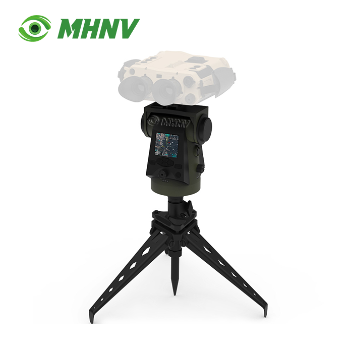
Intelligent Pan Tilt Base
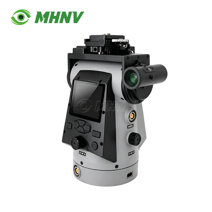
MHNV MH-PTZ16 Intelligent Pan Tilt Base – Precision Remote Positioner for Multi-Sensor Observation Systems with Sub-Mil Accuracy
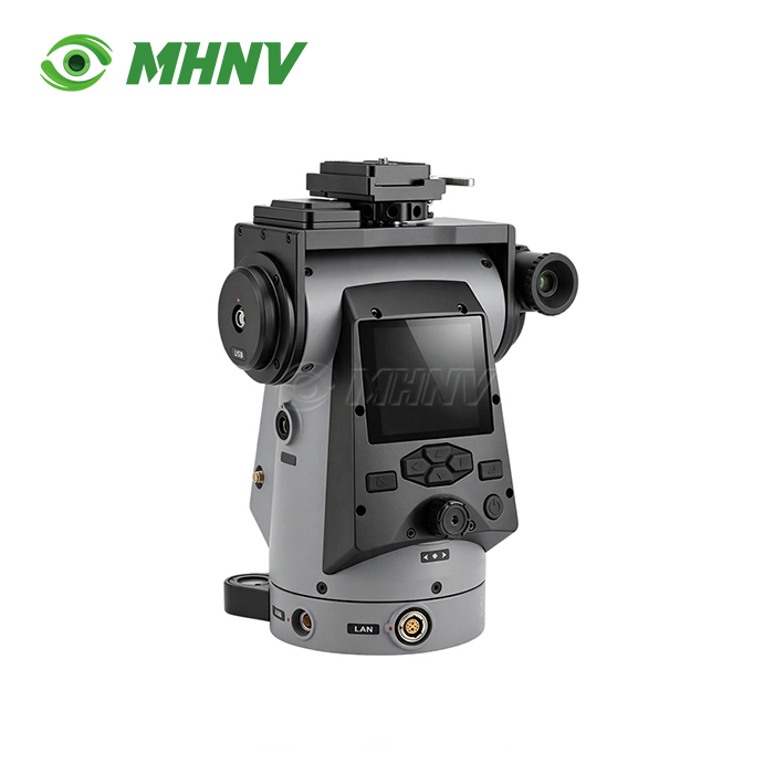
Xi'an MH Electronics And Technology Co., Ltd. MHNV MH-PTZ16 is a precision remote positioner with position accuracy of ≤0.02° and payload capacity of ≥4 kg for thermal binoculars, nite vision devices and fusion observation systems. Continuous 360º azimuth rotation with a -45º to +45º pitch range and 0.006º/s to 30º/s variable speed control make this Intelligent Pan Tilt Base ideal for automated sector scanning and reliable target return during long range surveillance, coastal watch and border observation missions. Multi-GNSS positioning and digital compass enable real-time calculation of target grid in WGS84, CGCS2000 and SK42 coordinate systems. RTSP streaming over IP sends video and telemetry to any remote command post within network reach.
Universal Payload Compatibility for Multi-Sensor Fleets
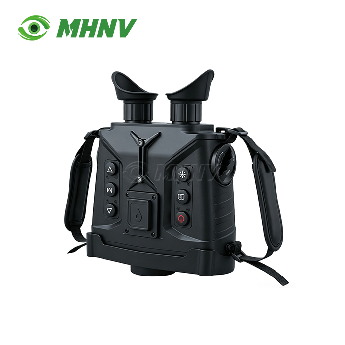
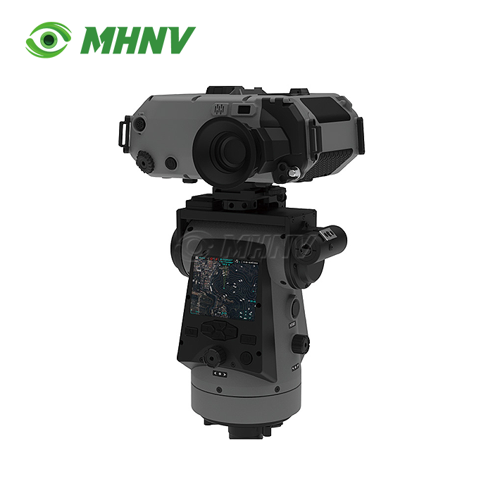
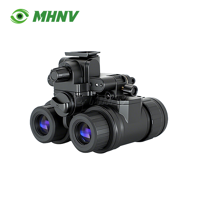
The 4 kilogram payload platform provides a standardised mounting interface for thermal imagers, low-light cameras, day observation systems and multi-sensor fusion devices. Organisations with mixed observation fleets place any current generation device under 4 kg — MHNV thermal binoculars, third-party nite vision monoculars or day cameras — on the same positioner.
This universal design means there's no need for device specific mounts. One spare-parts inventory is maintained rather than separate stocks for each sensor family. The operators already know the interface regardless of what payload the assignment calls for, so this reduces the training complexity to a single platform and reduces the mission preparation time.

Sub-Mil Precision for Automated Observation Workflows
Position accuracy ≤0.02° (0.3 mil) and repeatability ≤0.06° (1 mil) enable automated sector scanning and time-lapse change detection. In the controller, you predefine several observation sectors, schedule regular sweeps over a given coverage area and the product returns to the same pointing coordinate session after session.
Without precise encoders, manual pan-tilt heads will wander 5 to 15 mils every cycle and cannot enable repeatable processes. With the MH-PTZ16, there's no drift to worry about so you can compare today's thermal scan to yesterday's baseline without having to re-register the image or compensate for angular error. The automated scanning takes repeated manual panning out of the operators hands so they can focus on target analysis while the positioner is executing the coverage plan.
Technical Specifications
| Parameter | Value |
|---|---|
| Model | MHNV MH-PTZ16 |
| Payload capacity | ≥4 kg |
| Azimuth rotation | Continuous n×360° |
| Pitch range | −45° to +45° |
| Rotation speed | 0.006°/s to 30°/s continuously variable |
| Position accuracy | ≤0.02° (0.3 mil) |
| Repeatability | ≤0.06° (1 mil) |
| Display | 2.95″ color, 1200×1080 px |
| Storage | 128 GB standard; 2 TB optional |
| Coordinate systems | WGS84, CGCS2000, SK42 |
| North reference | Magnetic, true, grid |
| Video input | CVBS, HDMI |
| Data transmission | RTSP over IP |
| Self-positioning | Multi-mode GNSS + digital compass |
| Dimensions | 180×135×220 mm |
| Weight | ≤4 kg |
| IP rating | IP67 |
| Operating temperature | −40°C to +60°C |
| Power consumption | 8.4 W rated; 20 W maximum |
Multi-Coordinate Output for Cross-Border and Joint Operations
Integrated GPS, digital magnetic compass and multi-frequency GNSS provide calculation of target grids in WGS84, CGCS2000 and SK42 coordinate systems using magnetic, true and grid north references. The grid display is already using the same mapping convention as your dispatch center, partner agency or host nation command post—no operator conversion required.
Conversion errors are a problem when teams from various organisations or countries share target data with single-standard positioners. The Intelligent Pan Tilt Base speaks the coordinate language each responding device already uses, so export installations integrate into the target mapping ecosystem without special firmware or conversion tables.
Continuously Variable Speed for Tracking and Slewing
The speed range from 0.006°/s to 30°/s allows for smooth monitoring of slow-moving vessels and quick slewing to different observation sectors with the same joystick instruction. You monitor a pedestrian at 0.006°/s without jerky stepping, then slew to a new sector at 30°/s when dispatch calls up a new target.
Fixed-speed positioners trade slewing responsiveness for tracking smoothness. The four-decade speed range on this platform gives you both, without having to change modes, so you may adjust to the speed of the observation, without having to reconfigure the controller.
Full Remote Operation and Evidence-Grade Recording
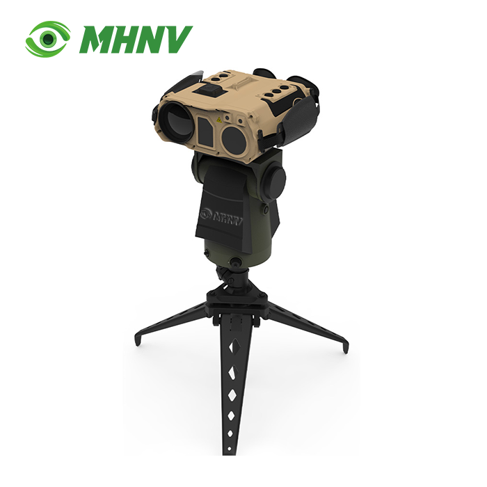
CVBS and HDMI inputs – accepts live payload video. RTSP output – feeds video and telemetry overlay to any laptop, ground station or command post within network reach. You set the tripod on an exposed observation site and operate the platform from a covered command post kilometres away, keeping troops out of hostile line of sight or bad weather while maintaining full observation capacity.
A 2.95″ 1200×1080 colour monitor on the positioner itself shows live payload footage with target grid overlay. 128 GB on-board storage (optional 2 TB upgrade) records continuous evidence-grade video with telemetry for after-action review, chain-of-custody documentation or training archives.
Rugged Design for Extended Field Deployment
IP67 sealing protects electronics from dust infiltration, and transient immersion in water during transport or in extreme weather conditions. The −40°C to +60°C working range encompasses Arctic winter observation and desert summer deployment without supplemental heating or cooling.
8.4 W rated power consumption extends the battery mission endurance or decreases the solar-panel size for off-grid static postings. Compact 180×135×220 mm footprint and ≤4 kg weight accommodate conventional tripod heads, car roof mounts and portable observation kits without custom brackets

FAQ
Q: What payload types does the MH-PTZ16 product accept?
A: The MH-PTZ16 accepts any thermal binocular, night vision device, day camera or multi-sensor fusion observation system weighing 4 kg or less through a standardized mounting interface, so organizations running mixed fleets—MHNV thermal imagers, third-party low-light cameras or day surveillance systems—mount every device on the same positioner without device-specific brackets. This universal compatibility cuts spare-parts inventory to a single line item and simplifies training because operators learn one platform regardless of payload type.
Q: How does sub-mil position accuracy improve observation workflows?
A: Position accuracy of 0.3 mil and repeatability of 1 mil enable automated sector scanning, preset observation patterns and time-lapse change detection; you program the controller to sweep a defined coverage area on a schedule and return to the exact same pointing coordinate session after session for comparison against baseline imagery, eliminating the 5 to 15 mil drift per cycle that prevents manual pan-tilt heads from supporting repeatable or automated observation missions.
Q: Which coordinate systems and north references does the platform support?
A: The integrated GNSS and digital compass compute target grids in WGS84, CGCS2000 and SK42 coordinate systems with magnetic, true and grid north references, so the readout matches the mapping convention of any dispatch center, partner agency or host-nation command post your team works with. Cross-border and joint operations avoid the operator-side conversion errors that occur when single-standard positioners force teams using different mapping conventions to translate coordinates manually.
Q: Can I control the positioner remotely from a covered location?
A: Yes; CVBS and HDMI inputs accept live payload video, and RTSP streams video plus telemetry overlay to any laptop, ground station or command post within IP network reach, so you position the tripod in an exposed observation location and control the product from a covered command post kilometers away. This remote capability keeps personnel out of hostile line of sight, severe weather or restricted access zones while maintaining full observation and recording functions.
Q: What environmental conditions can the MH-PTZ16 withstand during field deployment?
A: IP67 sealing protects against dust ingress and temporary immersion, and the −40°C to +60°C operating range covers Arctic winter posts and desert summer deployment without auxiliary climate control; the 8.4 W rated power consumption extends battery mission duration for off-grid static observation sites, and the compact 180×135×220 mm footprint plus ≤4 kg weight fit standard tripod heads and vehicle roof mounts without custom brackets or reinforced structures.

Contact Us
Ready to deploy Intelligent Pan Tilt Base precision remote observation? Reach our engineering team at sarah@mh-elec.com for technical specifications, integration guidance and delivery timelines.
YOU MAY LIKE