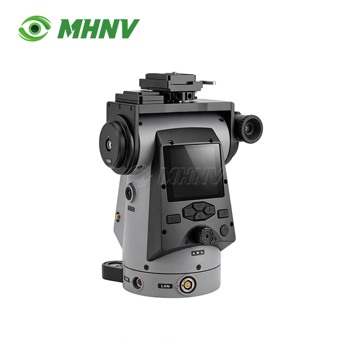
Heavy Duty Pan Tilt Positioner
High-Precision Heavy Duty Pan Tilt Positioner for Multi-Sensor Surveillance & Remote Observation Systems
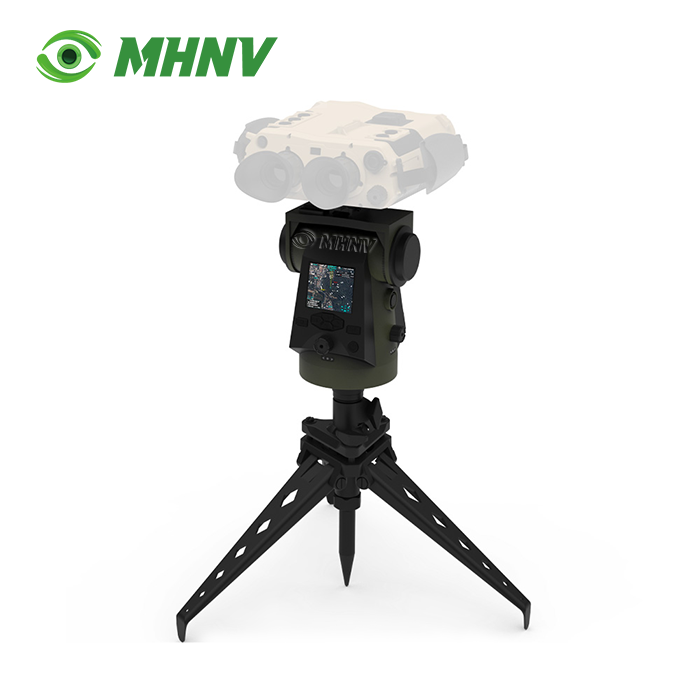
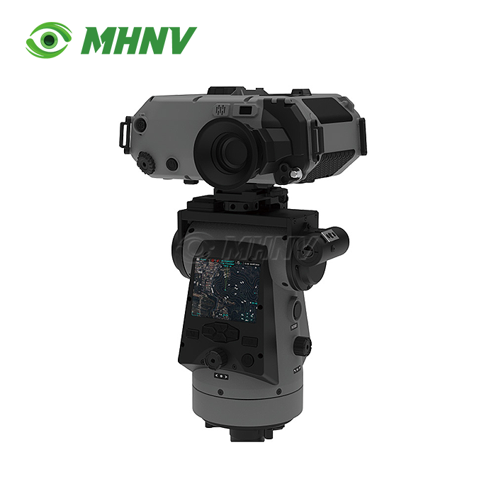
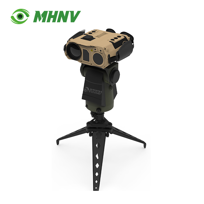
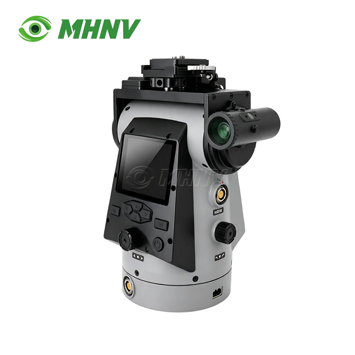
The MHNV MH-PTZ16 Heavy Duty Pan Tilt Positioner is a universal platform for the accommodation of thermal binoculars, nite vision devices, day cameras and fusion observation systems. This positioner is designed for surveillance, coastal watch, wildlife survey and border missions, with a payload capacity of ≥4 kg and compatibility with any MHNV or third-party thermal binocular, low-light camera or multi-sensor fusion device. It provides full-sector scans from a single tripod position, with 360° continuous azimuth and −45° to +45° pitch coverage. The system has a pointing precision of ≤0.02° and repeatability of ≤0.06°, and can automatically scan sectors and accurately calculate target grids for professional observation missions.
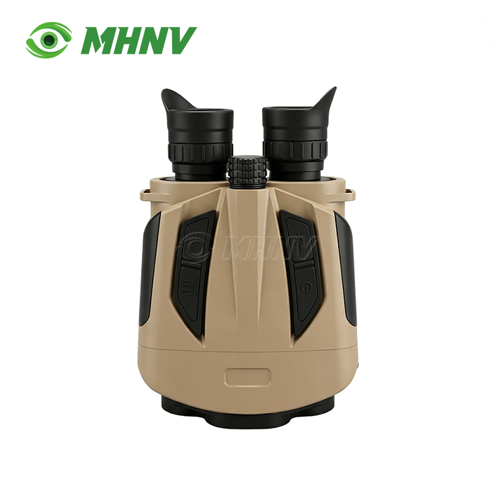
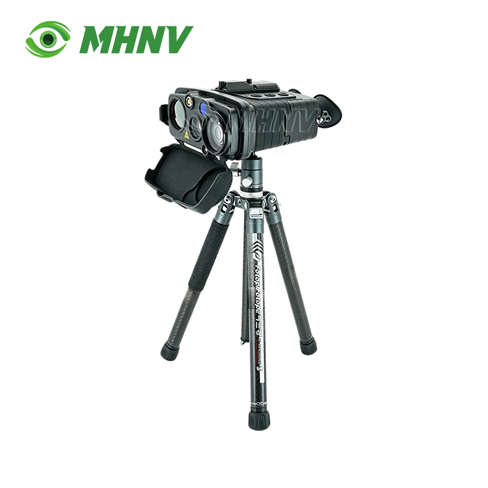
Universal Payload Integration
The MH-PTZ16 may carry any observation payload under 4 kg that uses a standardised mounting interface. All of your thermal binoculars, nite vision equipment, day surveillance cameras, multi-sensor fusion devices mount on the same platform. Universal compatibility means you don’t require separate mounts across device families, which reduces spare-parts inventory and training complexity to one platform investment. Work with thermal imaging for nite observation or day cameras for documentation, the same positioner works for your complete fleet.

Precision Positioning & Automated Scanning
Sub-mil position accuracy changes the way you deal with observations. You can preprogram various observation sectors, automate periodic sweeps of specific areas of coverage, and return to the exact same pointing coordinate over multiple sessions, with 0.3 mil position accuracy and 1 mil repeatability. The reliability of time-lapse change detection relies on the platform returning to the exact same target position each time. Manual pan-tilt heads drift 5 to 15 mil every pointing cycle and cannot approach this level of precision or automation.
Multi-Coordinate System Support
The built-in GPS, digital magnetic compass and multi-frequency GNSS deliver reliable own-position and target grid data on each scan. The system supports WGS84, CGCS2000 and SK42 coordinate systems with magnetic, true and grid norths references. Your target grid read-out is in mapping convention of any responding unit, dispatch center, or command post. Here, the flexibility removes the need for operator-side coordinate conversion problems found on single-standard platforms when your fleet is working across national or organisational boundaries.

Technical Specifications
| Parameter | Specification |
|---|---|
| Model | MHNV MH-PTZ16 |
| Payload Capacity | ≥4 kg |
| Azimuth Rotation | Continuous 360° |
| Pitch Range | −45° to +45° |
| Rotation Speed | 0.006°/sec to 30°/sec |
| Position Accuracy | ≤0.02° (0.3 mil) |
| Repeatability | ≤0.06° (1 mil) |
| Display | 2.95" color, 1200×1080 px |
| Storage | 128 GB (optional 2 TB) |
| Coordinate Systems | WGS84, CGCS2000, SK42 |
| Video Input | CVBS, HDMI |
| Data Transmission | RTSP over IP network |
| Dimensions | 180×135×220 mm |
| Weight | ≤4 kg |
| IP Rating | IP67 |
| Operating Temperature | −40°C to +60°C |
| Rated Power | 8.4 W |
Variable Speed Control
The constantly variable speed range of 0.006°/sec to 30°/sec allows for precision tracking and quick slewing. You may easily monitor a slow moving target at 0.006°/sec or slew to a new sector at 30°/sec, all from the same joystick or remote command. Fixed speed positioners are a compromise between tracking smoothness and slew response. This four-decade speed range provides both capabilities without changing modes, providing you the control you need for difficult observation situations.
Full Remote Operation
Live payload video is available via the CVBS and HDMI inputs. Video and telemetry data is streamed out via RTSP over normal IP network to your laptop, ground station or command post. You are able to set up the tripod on an exposed observation station and control the Heavy Duty Pan Tilt Positioner from a protected command post kilometres distant. Personnel remain clear of weather or hostile line of sight or restricted access areas while preserving full observation capacity. It features 128 GB of onboard storage (2 TB optional) and records continuous evidence-grade video with target grid overlay for after-action inspection.
Rugged Environmental Design
Its IP67 rating and −40°C to +60°C operational temperature range allow it to be used in coastal, desert, alpine and arctic regions. The system is portable for rapid deployment operations with a tiny footprint of 180×135×220 mm and weight of ≤4 kg. The platform is rated for power consumption of 8.4 W, making it suitable for long-term deployment on battery power or solar systems when grid power is not available.
FAQ
Q: What payload devices are compatible with the MH-PTZ16 positioner?
A: The MH-PTZ16 is a universal remote pan-tilt platform designed to mount any thermal binocular, night vision device, day camera, or multi-sensor fusion system weighing up to 4 kg through a standardized interface, enabling you to deploy the same positioner across your entire observation equipment fleet. The platform accepts CVBS and HDMI video input from mounted payloads and streams live video with target grid overlay to remote stations via RTSP over IP network, so you can operate any compatible observation device from a distant command post.
Q: How does sub-mil accuracy improve observation mission effectiveness?
A: Position accuracy of 0.3 mil and repeatability of 1 mil allow you to preset observation sectors, automate periodic sweeps, and return to exact target coordinates over multiple sessions for reliable time-lapse change detection and area monitoring. Manual pan-tilt heads without precision encoders drift by 5 to 15 mil per pointing cycle and cannot support automated workflows, whereas this precision enables unattended scheduled observation and consistent target re-acquisition.
Q: Which coordinate systems does the positioner support?
A: The integrated GPS, digital magnetic compass, and multi-frequency GNSS provide target grid output in WGS84, CGCS2000, and SK42 coordinate systems with magnetic, true, and grid north references, matching the mapping convention of any responding unit or command post. This multi-coordinate capability eliminates operator-side conversion errors when your fleet works across multiple national or organizational boundaries.
Q: Can I control the positioner remotely without direct line of sight?
A: Yes, the platform streams payload video and telemetry via RTSP over standard IP network, enabling full remote control from laptops, ground stations, or command posts at any distance your network reaches. You position the tripod in the observation location and operate from a covered command post kilometers away, keeping personnel out of weather or hostile exposure while maintaining complete observation capability.

Contact Us
Ready to enhance your observation systems with Heavy Duty Pan Tilt Positioner? Contact our team at sarah@mh-elec.com for technical specifications and customization options today.
YOU MAY LIKE