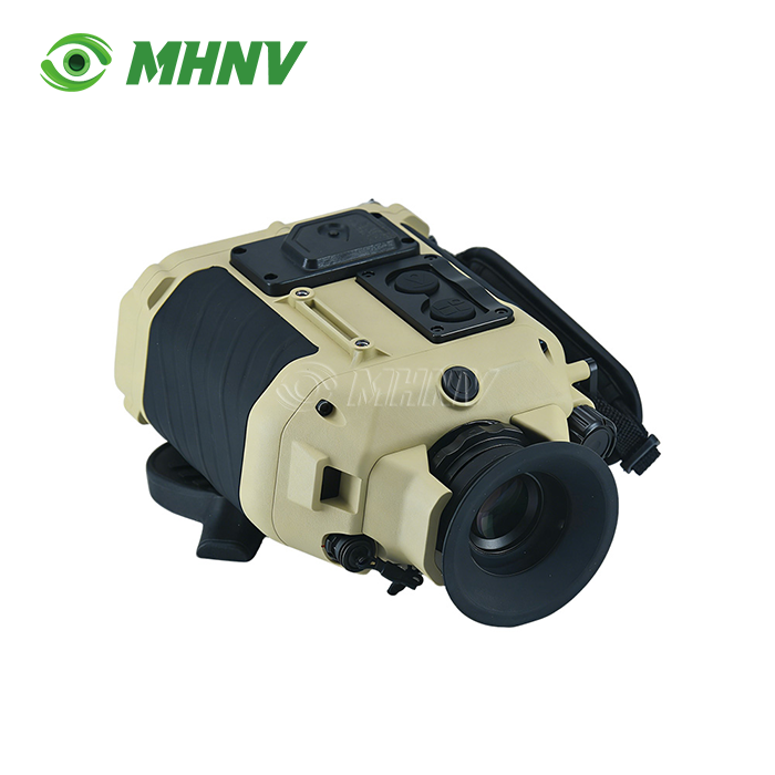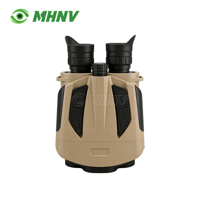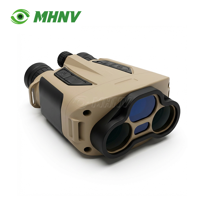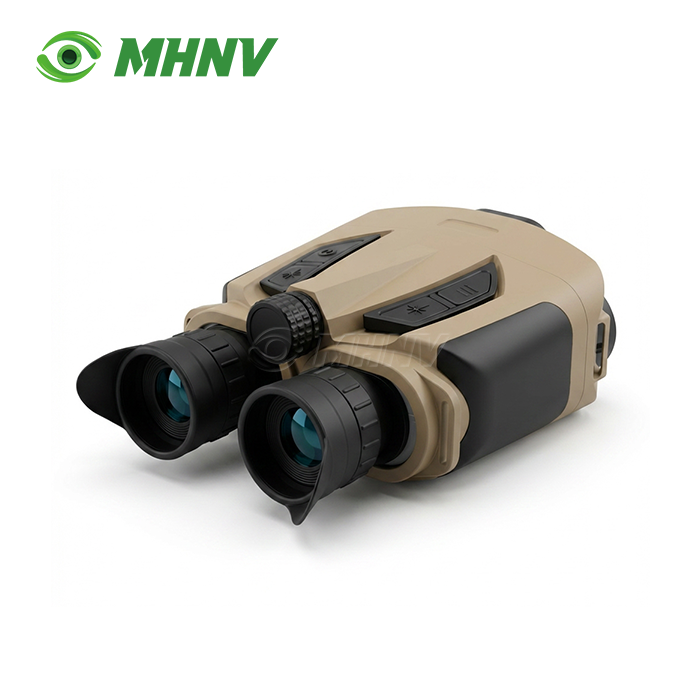
6KM Long Distance Rangefinder Binocular
6KM Long Distance Rangefinder Binocular | Professional Dual-Optic Laser Ranging System with Integrated Digital Compass
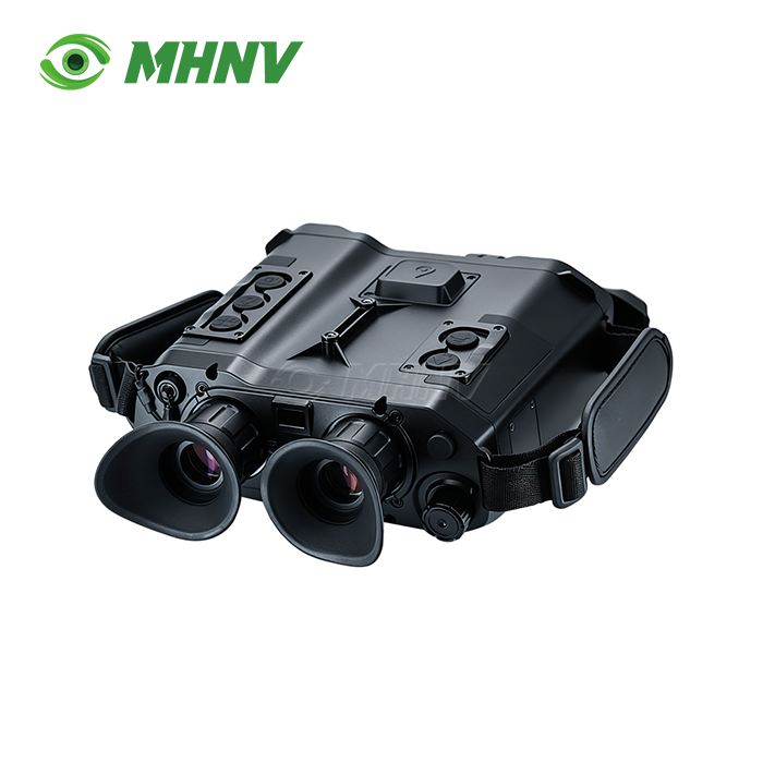
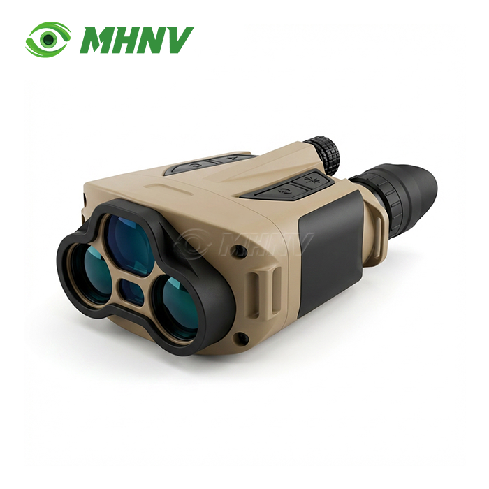
Xi'an MH Electronics And Technology Co., Ltd. announces the MHNV® MH OL06 – 6KM Long Distance Rangefinder Binocular for industrial surveying, search-and-rescue and long range observation. This professional quality optoelectronic instrument combines HD binocular optics with a 1535nm eye-safe laser module to achieve ±1m ranging accuracy from 10m to 6,000m on vehicle sized targets and beyond 10,000m on major structures. The system is based on a pulse Time of Flight (ToF) engine, and has a gyro-magnetic dual calibration compass, and RS232/TTL serial data output, for easy integration into monitoring networks. The gadget is housed in an IP67-rated magnesium alloy chassis and performs reliably from -20°C to +50°C.
Why MHNV® MH OL06 Delivers Enterprise-Grade Performance?
MHNV® product handles real world measurement problems. Five modes of operation are provided: Single, Scan (1Hz refresh), A-B distance measurement, Height measurement, Range Gating (clutter elimination).
1535nm is IEC 60825-1 Class 1 laser safe. No glasses required. You get confident measurements in haze, dust and damp situations where shorter wavelengths attenuate rapidly.
There are two data interfaces: a Type-C for firmware updates and a tail-wire RS232/TTL connector for direct connection to PLCs, rugged tablets or custom data loggers. Independent diopter adjustment and 16 levels of reticle brightness (four reticle shapes) for different operator vision and ambient light conditions. The standard ¼” tripod mount keeps readings steady during long observation missions.

Technical Specifications
| Parameter | Value |
|---|---|
| Model | MH OL06 |
| Laser Wavelength | 1535nm ± 5nm (Eye-Safe Class 1) |
| Max Range (Vehicle 2.3×2.3m) | ≥ 6,000 m |
| Max Range (Large Structure) | ≥ 10,000 m |
| Min Range | 10 m |
| Measurement Accuracy | ± 1 m |
| Range Gating (Min) | 10 / 50 / 100 / 200 / 300 / 400 / 500 m |
| Range Gating (Max) | 1,000 / 2,000 / 4,000 / 6,000 / 8,000 / 10,000 / 20,000 m |
| Scan Mode Refresh Rate | ~1 Hz |
| Reticle Shapes | 4 Types (Cross 1–4) |
| Reticle Brightness | 16 Levels (0–15) |
| Electronic Compass | Gyro + Magnetic dual calibration |
| Power Supply | 2× CR123A Lithium Batteries |
| Data Interface | Type-C + Tail-wire (RS232 / TTL) |
| Tripod Mount | Standard ¼" Thread |
| Working Temperature | -20°C to +50°C |
| Storage Temperature | -40°C to +60°C |
| Protection Level | IP67 |
Four Core Advantages That Define Field Reliability
1. 6,000m Long-Range Accuracy: ±1m at Full Range
Pulse Time-of-Flight (ToF) technology is accurate to ±1m from 10m to 6,000m on vehicle-sized targets. One press, one second wait, and you have an exact readout anywhere in the measurement envelope. The sensitive APD detector balances air extinction and works well even in haze and dust.
2. 1535nm Eye-Safe Laser
Your 6KM Long Distance Rangefinder Binoculars operate at 1535nm, which falls within the retina-safe wavelength spectrum, as defined by IEC 60825-1 Class 1. Operators do not need specialised laser safety equipment. You're out of the box fully compliant with civilian and industrial export requirements.
3. RS232 / TTL Serial Output
The tail-wire interface provides real time range information in a conventional serial frame. You link directly with PLCs, rugged tablets, data loggers and specialised monitoring systems. OEM integration with user-selectable baud rate and frame format. Firmware upgrade and file transmission are done using the Type-C connector.
4. Five-Mode Operation: Single / Scan / A-B / Height / Gate
One viewfinder. Five measuring modes. Scan mode refresh rate is 1Hz for moving target speed estimation. Mode A-B Points: Automatic calculation of distance and angle between points. Height mode measures the difference in elevation between two places on the ground. Range Gating removes foreground clutter to give clean readings in congested situations.
Applications Across Demanding Environments
Maritime Search and Rescue (SAR)
The device is used by coast guards to detect and range distressed vessels or debris in high humidity settings when traditional lasers fail because of water vapour interference.
Forestry & Wildfire Management
Rangers can spot smoke columns to the nearest coordinate from ridges miles away. You allow for rapid deployment of aerial fire suppression capabilities without physical access to hazardous slopes.
Power Line Inspections
Take measurements of sag and span between gearbox towers in mountainous areas. You provide maintenance efficiency in complicated topography without unsafe physical access.
Industrial Surveying
Take accurate baseline measurements for large-scale construction projects. The built-in compass offers azimuth data for full target coordinate collection.

MHNV® Manufacturing Excellence Behind Every Unit
MHNV® operates a vertically integrated facility covering optical design, FPGA processing, embedded firmware, and precision assembly. Every shipped product undergoes:
- Laser energy stability testing across thousands of cycles
- Optical collimation verification to align the optical axis and laser axis
- Environmental stress screening (ESS) with temperature cycling and vibration tests
- Salt spray testing for maritime corrosion resistance
- Ranging consistency checks at 1km, 3km, and 6km benchmarks
The ISO 9001:2015 quality management system ensures CE, RoHS, and FCC compliance. You receive a serialized QC data sheet with every device.

OEM & ODM Customization Capabilities
MHNV® offers comprehensive customisation on many product levels:
Customisation of Firmware
User interface language, gain curve adjustment, video overlay, WiFi / Bluetooth streaming functions.
Mechanical Customization
Logo engraving. Housing redesign. Material choice. (Aluminium, magnesium, polymer). IP protection upgrades.
Customising the Data Interface
Proprietary monitoring systems with custom baud rates, frame formats and protocol adaptations.
Packaging Customization
Branding on packaging, manuals in many languages, quick-start guides in regional markets.
FAQ
Q: Why is 1535nm technology preferred for a product?
A: The 1535nm wavelength is inherently eye-safe according to IEC 60825-1 Class 1 standards and offers superior atmospheric penetration compared to 905nm or 1064nm lasers. You achieve better reliability in humid or hazy conditions because water vapor absorption is lower at this wavelength. This combination of safety and performance makes 1535nm the preferred choice for long-range industrial and professional ranging applications where operator protection and measurement consistency are critical.
Q: Can the product measure through glass?
A: Most long-range pulse lasers struggle with glass due to backscatter from the near surface. Professional units like the MH OL06 include 'last target' logic to ignore foreground reflections and prioritize the farthest valid return signal. You can measure through clean, non-reflective glass panels in controlled environments, but tinted or coated glass may reduce effective range. For best results in vehicle or building applications, aim the laser through open windows or doors.
Q: How does atmospheric haze affect the 6km measurement?
A: Haze increases the extinction coefficient, reducing the laser return signal strength as photons scatter before reaching the target. High-end 6km units like the MH OL06 utilize sensitive Avalanche Photodiode (APD) detectors to compensate for this signal loss. You maintain accurate readings in moderate haze because the APD amplifies weak return pulses. In dense fog or heavy smoke, maximum range may decrease to 3–4km, but measurement accuracy remains ±1m within the reduced envelope.
Q: What is the significance of 'Beam Divergence' in these binoculars?
A: A lower beam divergence—typically less than 0.3 milliradians—ensures the laser spot remains small at 6km, preventing the beam from hitting the ground or surrounding objects instead of the intended target. You achieve precise point measurements because the spot size stays manageable even at maximum range. The MH OL06's collimation design keeps the beam tight, reducing false returns and improving signal-to-noise ratio in cluttered environments.
Q: How often should the integrated digital compass be calibrated?
A: Calibration is recommended whenever you move the device to a significantly different geographical location or after exposure to strong magnetic fields. The dual gyro-magnetic system in the MH OL06 maintains azimuth accuracy across most operational scenarios. You preserve coordinate precision by performing a quick calibration routine before critical missions, especially in high-latitude regions where magnetic declination varies rapidly or near heavy machinery that generates electromagnetic interference.

Contact MHNV® for Custom Integration Solutions
Ready to integrate the 6KM Long Distance Rangefinder Binocular into your monitoring network? Contact sarah@mh-elec.com to discuss your specific requirements and receive a tailored quotation.
YOU MAY LIKE
.webp "Laser Target Locator Module (LTLM)")